WHAT YOU NEED TO KNOW: California has built up more tech, firefighters, and aircraft for wildfires than ever before – protecting Californians ahead of what could be an intense wildfire season after wet conditions resulted in more vegetation throughout the state.
GRASS VALLEY – With California’s peak wildfire season forecasted to be similar to the dangerous and destructive 2017 season, Governor Gavin Newsom joined state fire officials in Grass Valley today to highlight the all-of-the-above approach California is taking this year to prepare and protect communities on the front lines.
In addition to having the largest aerial firefighting fleet in the world on standby and the most firefighters in state history, California is deploying new tools – including AI, satellites, cameras, drones, real-time intelligence, and more – to fight fire faster and smarter.
What Governor Newsom said: “In just five years, California’s wildfire response has seen a tech revolution. We’re enlisting cutting-edge technology in our efforts to fight wildfires, exploring how innovations like artificial intelligence can help us identify threats quicker and deploy resources smarter. And with the world’s largest aerial firefighting force and more firefighters on the ground than ever before, we’re keeping more Californians safer from wildfire. While these resources will help protect our communities, Californians need to remain vigilant for what could be an intense wildfire season this year.”
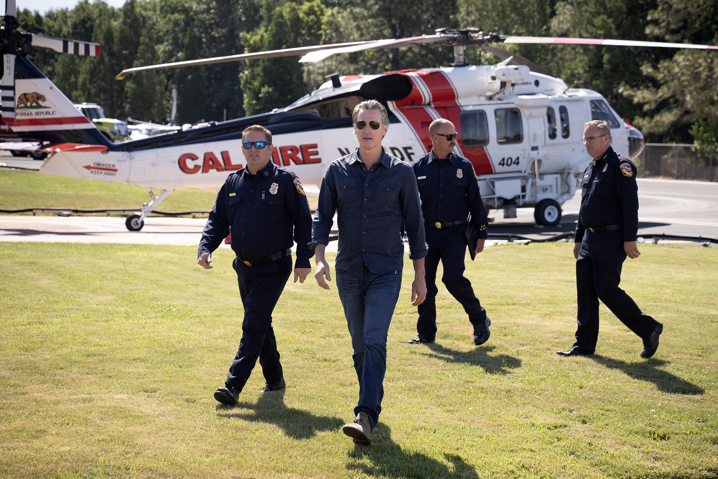
Governor Newsom at Grass Valley Air Attack Base
TECH & INNOVATION TO FIGHT FIRES SMARTER: No other jurisdiction in the world comes close to California’s use of innovation and technology to fight fires.
- Persistent Communication and Surveillance: The state is working with Lockheed Martin to explore the potential of incorporating Department of Defense-grade technology to fight wildfires. CAL FIRE is focusing on drone-based software, AI-enabled tools, analytics, and capabilities to provide analysis of ground and atmospheric conditions in near real-time, as well as persistent communications capabilities to fire personnel on the ground during response activities.
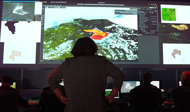
(Courtesy: Lockheed Martin)
- Low-Earth Orbit Satellites: The state is also working with the Environmental Defense Fund on low-earth orbit satellite technology. CAL FIRE is currently working on a potential partnership to formalize our ability to be involved in providing user input and feedback during system development, analyze sample and initial data from the system, and advance our knowledge of satellite-based detection for wildland firefighting including wildland-urban interface fires, prescribed fire, and more.
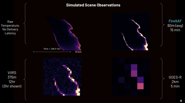
Simulated satellite visuals
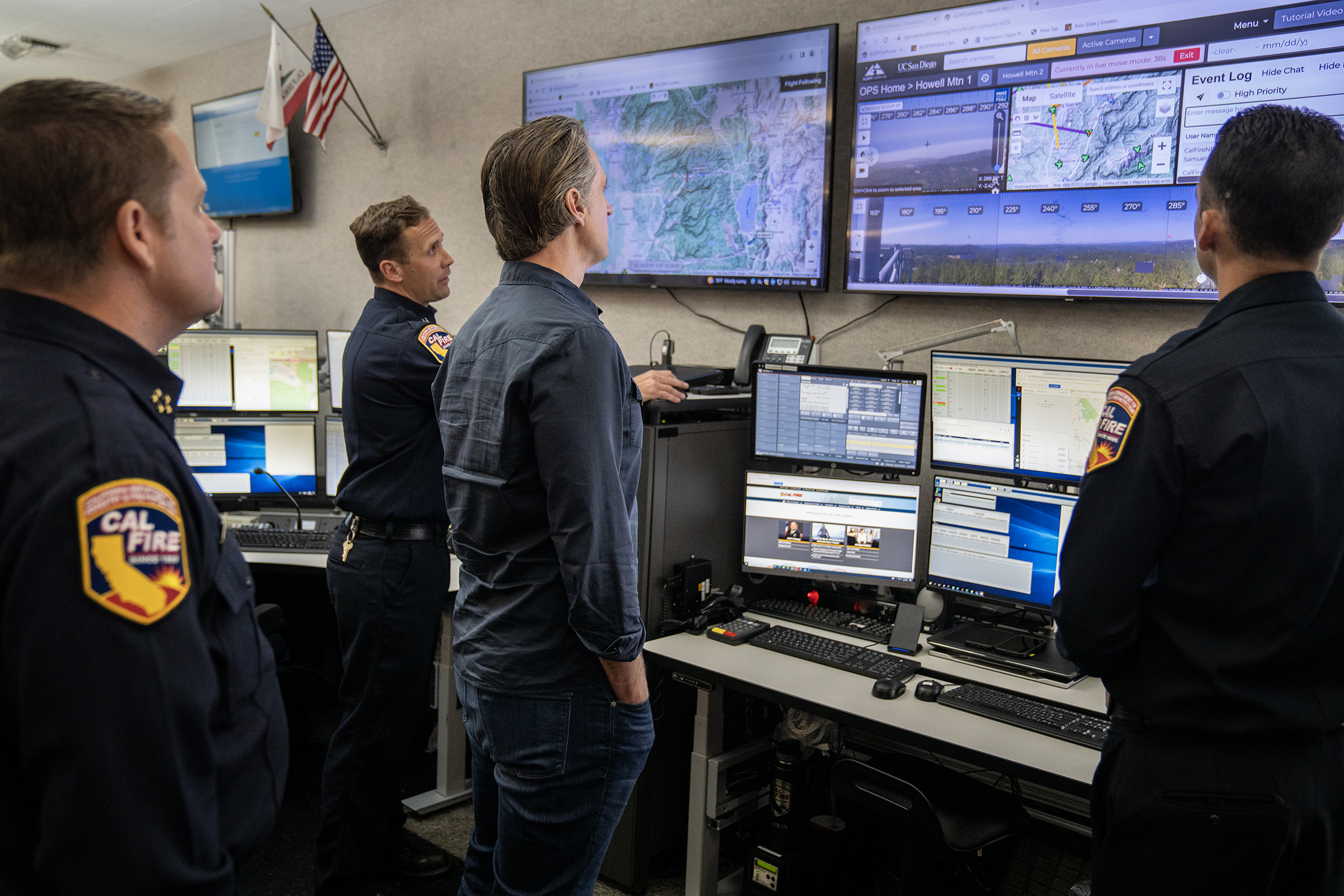
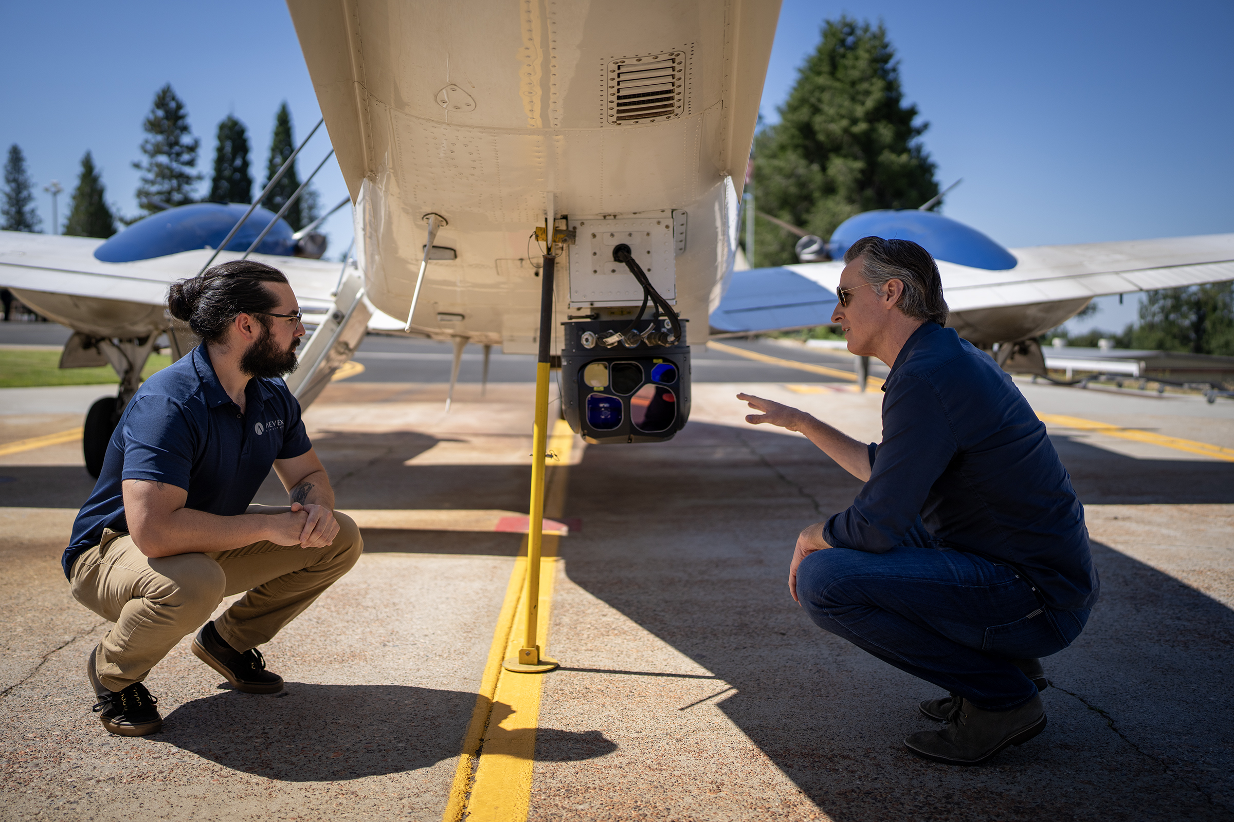
- FIRIS (Fire Integrated Real-time Intelligence System): Originating as a state-funded pilot in Orange County in 2019, and now funded for statewide operations, FIRIS is a program that provides real-time intelligence data and analysis on emerging disaster incidents in California. Infrared mounted cameras on the aircraft provide a common operating picture, and data for near-real-time fire modeling that is available at the onset of emerging incidents.
Click Here for FIRIS Plane B-Roll
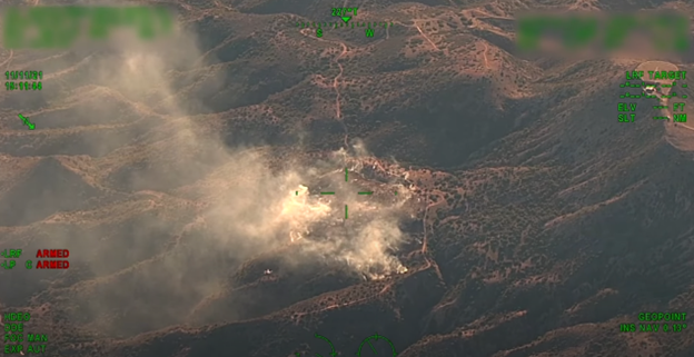
FIRIS imaging
- More cutting-edge technology: The state has deployed a variety of innovative technologies to support our mission of fighting fires and keeping people safe:
o Technosylva wildfire projection tool: The result of the state’s first innovation sprint in 2019, using the X-prize concept, this is an on-demand wildfire spread prediction tool to support operational response, what-if scenario analysis, and wildfire risk forecasting.
o FireGuard partnership with the Department of Defense: Working with the California Guard and the Pentagon, the state trailblazed the development and implementation of satellite capabilities to detect, analyze and map new wildfire ignitions, which was just extended to support Canada’s wildfire response.
o CalGuard’s remotely-piloted aircraft: Since 2019, the Defense Secretary has authorized using the California National Guard’s remotely piloted aircraft for rapid aerial mapping and assessment of wildfires.
o LiDAR investments: The state’s investments have collected approximately 30 million acres of new LiDAR (Light Detection and Ranging), which uses a remote sensing method to make a detailed 3-D map of the current topography and vegetation for every high fire risk region of California.
o FireHawk night-capable helicopters: Faster with greater capacity to carry water, these helicopters allow CAL FIRE to conduct night flight operations. The initial fleet of 12 is being expanded to 16.
o Wildfire Threat Intelligence Center (WFTIC): Serves as California’s integrated central organizing hub for wildfire forecasting, weather information, threat intelligence gathering, analysis and dissemination. WFTIC also coordinates wildfire threat intelligence and data sharing among federal, state, local agencies, tribal governments, utilities, other service providers, academic institutions and nongovernmental organizations.
MORE FIREFIGHTERS THAN EVER BEFORE: An additional $674.1 million in 2022-23 added 1,350 new positions and expanded fire crews, air attack operations, and provided for additional relief for CAL FIRE staff to meet the demands of wildland firefighting in a changing climate.
CAL FIRE SECURES 24 ADDITIONAL AIRCRAFT: CAL FIRE is bolstering its firefighting aircraft fleet across California for the second year in a row as a result of over $72 million in funding provided by the state. The investment has allowed CAL FIRE to secure 24 additional firefighting aircraft (19 helicopters and 5 airplanes for a contractual period of 90-120 days) to enhance their statewide response efforts against wildfires in California. The additional fixed-wing aircraft include 3 large airtankers specifically designed to carry up to 4,000 gallons of retardant. These aircraft have been strategically located in communities across California and will be pre-positioned to meet the needs of potential fire activity throughout the state.
PEAK FIRE SEASON LOOK AHEAD: After years of drought, this winter’s massive storms brought unprecedented precipitation that has resulted in significant growth of grasses and vegetation – increasing the risk of wildfire. This is similar to the 2017 season that also followed years of drought and was the most destructive wildfire season on record at the time.
Temperatures are heating up towards the end of this month and there is a 90% likelihood of an El Nino developing by July. The tropical disturbances typically associated with an El Nino pattern could lead to increased lightning and thunderstorm activity. In the lower elevations a dense grass crop has developed. These grasses have started drying and will continue to dry out which may lead to an increase of grass fires. Due to the late rainy season, larger vegetation located in the mid and upper elevations will continue to experience above normal growth into the early summer months. The snowpack that remains in the mountain areas should assist with mitigating significant fire potential in the higher elevations until later in the summer.
###