WHAT YOU NEED TO KNOW: Governor Newsom is mobilizing state government to support communities across the state prepare for and respond to the next set of winter storms.
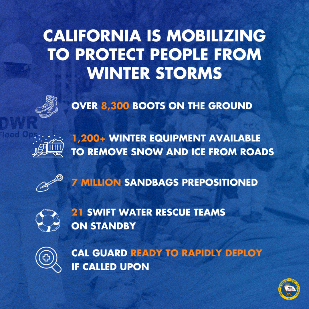
SACRAMENTO – Today, Governor Gavin Newsom announced that California has mobilized more than 8,300 boots on the ground ahead of the next set of winter storms anticipated to bring serious impacts to much of the state this weekend and into early next week.
In addition to increased personnel, California has activated its State Operations Center, Flood Operations Center, Caltrans Emergency Operations Center and the Medical Health Coordination Center – all coordinating a unified response with our local and federal partners.
Supporting recovery efforts from storms in January and late December, Governor Newsom today also proclaimed a state of emergency in Humboldt, Imperial, Monterey, San Mateo and Santa Cruz counties, which join two counties the Governor proclaimed a state of emergency for last week due to storm impacts. A copy of the proclamation can be found here.
THE FORECAST: According to the National Weather Service, an atmospheric river will move into California starting early morning on Sunday and will continue through Tuesday and possibly Wednesday.
- Rain: Heavy rainfall is possible nearly statewide, but the most likely focus will be on coastal central to southern California. Significant flooding is becoming increasingly likely, including the potential for flooding on roadways, creek and main stem river flooding, mud/rockslides, and debris flows.
- Snow: Additional heavy mountain snowfall is expected across virtually the entire state, with snow levels on Sunday starting as low as 2,500-4,500 feet across northern California and 5,000-6,000 feet in southern California. Multiple feet of new snow accumulation are likely in several mountain ranges, and extremely difficult mountain travel conditions are expected.
- Wind: Periods of strong, gusty winds will likely lead to outdoor property damage, tree damage, and power outages.
CALIFORNIA HAS MOBILIZED:
- 8,300+ boots on the ground, including:
- Cal OES, through the California Fire and Rescue Mutual Aid System, has deployed more than 550 local government firefighters and support staff, as well as 19 swift water rescue teams, 1 local government urban search and rescue team, in 19 counties.
- More than 4,000 Caltrans personnel deployed throughout the state.
- California Highway Patrol officers and other personnel are available in impacted regions and can activate limited emergency operations centers.
- CAL FIRE has prepositioned 5 hoist-rescue helicopters, 2 swift water rescue teams, additional four-wheel drive engines, and 6 handcrews.
- The California National Guard is ready to rapidly deploy if called upon. These resources include high-water vehicles, aviation search and rescue assets, military police, general transportation, and heavy engineering equipment units.
- 500 California Conservation Corps members available to support.
- 1,200+ pieces of winter equipment from Eureka to El Centro – such as snow blowers, graders and sweepers – are available to remove snow and ice from the highways.
- Caltrans has prepositioned water pumps in flood-prone areas, and is ensuring storm drains are clear of debris, checking portable backup generators, and stocking up on reflective signs in the event of power outages.
- 7 million+ sandbags prepositioned
- Sheltering and food supplies for 37,000+ people, including cots, blankets, water and food.
- Other state efforts include:
- The State Operations Center is activated, whole of state government expertise responding 24/7.
- Community partner phone banking effort making thousands of calls to sign up Californians for local emergency alerts in the most at-risk counties.
- The Flood Operations Center is activated and coordinating flood planning and response. DWR Flood Fight Specialists are also on standby and are patrolling priority levees 24/7. The California Nevada River Forecast Center is in a 24-hour operation, producing updated forecasts every 6 hours throughout the duration of the event.
- State Parks continues to actively monitor the storm’s impacts on state parks and making real-time decisions on closures as needed. As of this morning, California has fully closed 7 state parks and partially closed 6 and have staff on the ground to respond. The public is advised to stay out of the ocean during the storm. For the latest closure information, please visit parks.ca.gov/incidents.
“California has more than 8,300 boots on the ground as we prepare for this next set of serious storms.
All Californians in the storm’s path – especially those in Southern California – should prepare now and follow the guidance of local government officials and first responders.”
Governor Gavin Newsom
5 things you can do to stay safer:
- Stay connected. Dial 311 to get help or ask questions. If you have a critical emergency, call 911. Stay informed by signing up for emergency alerts including warnings and evacuation notices at CalAlerts.org.
- Get your information from trusted sources. Check state and local government or emergency management websites and social media accounts for trusted information specific to your area. Local news outlets and meteorologists are also a good source of information. Be wary of posts from unknown sources on social platforms or from online ‘experts’ without credentials.
- Prepare for high winds. Before a high wind event: remove any dead trees or overhanging branches near structures, remove loose roofing material, bring in unsecured objects from patios and balconies, secure outdoor objects that could blow away, shutter windows securely and brace outside doors. During a high wind event: take cover next to a building or under shelter, stay away from windows, stay clear of roadways and train tracks, avoid elevated areas such as roofs, watch for flying debris.
- Travel safely. Avoid non-essential travel during the peak of the storm expected Sunday and Monday. If you must drive, download the QuickMap app or visit QuickMap (ca.gov) to learn up-to-the-minute information on road conditions, traffic, closures, and more. Do not walk, swim or drive through flood waters. Turn Around, Don’t Drown! Remember, just six inches of moving water can knock you down, and one foot of moving water can sweep your vehicle away.
- Be ready in case of power outages. Take inventory of the items you need that rely on electricity. Keep your devices charged. Plan for batteries and other alternative power sources to meet your needs if the power goes out such as a portable charger or power bank. Have flashlights for every household member.
Additional Resources
- Storm Season Safety Guide: the state is sharing multilingual resources, deploying a network of community-based organizations through the Listos California campaign, and highlighting other work underway to protect at-risk communities this rainy season.
- Prepare Yourself through Texts: Californians can sign up for a 5-lesson text message course through Listos California on what to do before, during and after floods, high winds, debris flows and other storm impacts. This course is available in English, Spanish, Hmong and Punjabi. Text “CAWINTER” to 20202 via SMS to sign up.
- Visit National Weather Service for current weather patterns in your area.